
Precision Aerial Mapping & Thermal Imaging
High-resolution aerial mapping, thermal imaging, and visual data collection for construction, infrastructure, and property documentation.
Based in Houston, Texas | Serving the Gulf Coast region
Why choose Blackreach?
FAA Part 107 Certified Drone Pilots
Project-Specific Aviation Liability Insurance
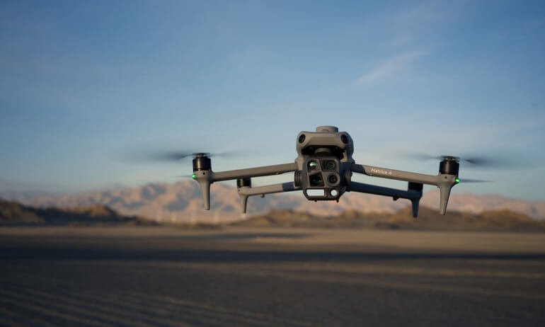
Professional Aerial Data Collection
High-Resolution Mapping
Fast Turnaround Times
Serving Houston & Gulf Coast region
Industries We Serve
Blackreach Industries provides aerial mapping, thermal imaging, and documentation services for commercial, industrial, and infrastructure clients across Houston and the Gulf Coast region.
Construction & Development
Commercial Property Management
Industrial Facilities
Infrastructure Projects
Solar Energy Operations
Insurance & Storm Documentation
Drone Mapping & Imaging Services
-
Aerial Mapping
High-resolution aerial mapping and orthomosaic imagery used for land development, acreage documentation, site planning, and large-area property visualization.
-
Thermal & Infrastructure Imaging
Thermal and high-resolution aerial imaging used to document infrastructure, rooftops, solar arrays, and industrial facilities while maintaining safe stand-off distances.
-
Construction Progress Documentation
Repeatable aerial imaging used to visually document construction progress and provide organized site records throughout the life of a project.
-
Storm & Disaster Documentation
Rapid aerial mapping and imaging used to document neighborhood-scale conditions before or after severe weather events across the Gulf Coast region.
-
Residential & Neighborhood Mapping
Large-area aerial mapping designed to capture neighborhoods, developments, and residential property layouts for documentation and planning purposes.
-
Real Estate Photography
Professional aerial photography for property listings, acreage visualization, ranch properties, and marketing materials.
Request a Quote
Tell us about your project and we’ll provide a customized aerial mapping or inspection proposal.